On a recent walk through the South Downs National Park, I came across a group of walkers standing around looking somewhat bemused. Two of their cohort were arguing over a map, finger poking it furiously and making all sorts of gesticulations. As I approached, they stopped their arguing and looked me up and down in a way that would suggest they were trying to decide if I would be a threat or some help!
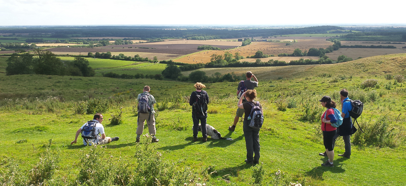
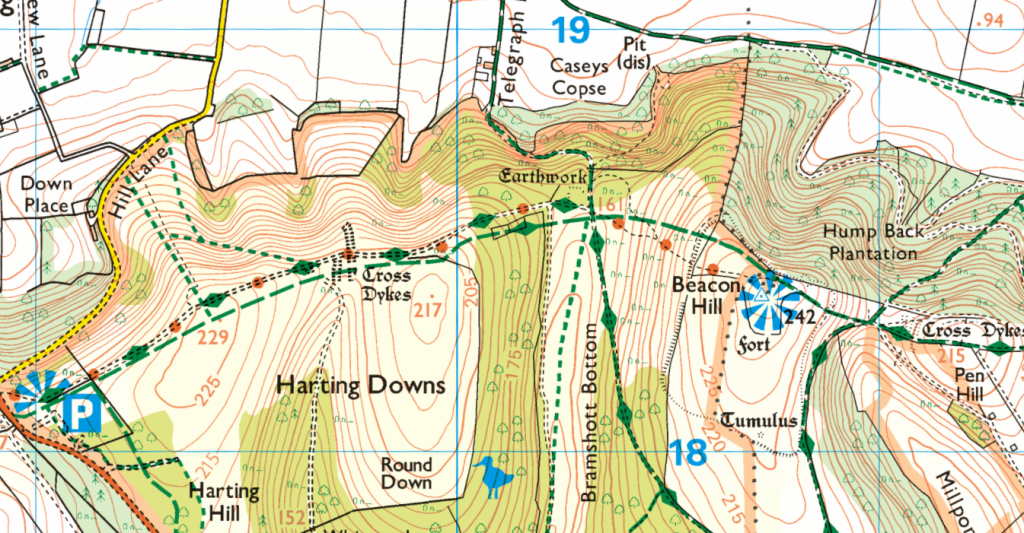
Eventually, one of the bemused walkers spoke up and asked if I was any good at map reading as their two colleagues were having a ‘slight’ disagreement! It transpired that the ‘navigators’ were having a ‘debate’ over their current position. I suggested I may be able to help and got each to point to their assumed location on the map. Both were very close to the correct location; they were both on a footpath but neither were on the correct path. One had them on a north-south footpath and the other on a NE-SW path, they were actually on an East-West path all three of which were converging.
I suggested that they stop looking at the map and look around them for clues of their location. This resulted on a very disgruntled response suggesting that there were no suitable landmarks from which to triangulate their position and looking around would be of no help. Again, I repeated my request that they should look around as there were at least 4 clues that would fix their position to within 1 metre! By this stage, the rest of the group had started to gather around paying a lot of attention to all that was being said. Eventually, the two navigators looked around, but again drew a blank.
So, I decided that this approach was not going to help matters so asked them to look at the sun breaking through the clouds and then look at their watches. I suggested that as the time was approaching midday, the sun had to be approximately due south and if that was the case, then the path they were on had to be running east-west.
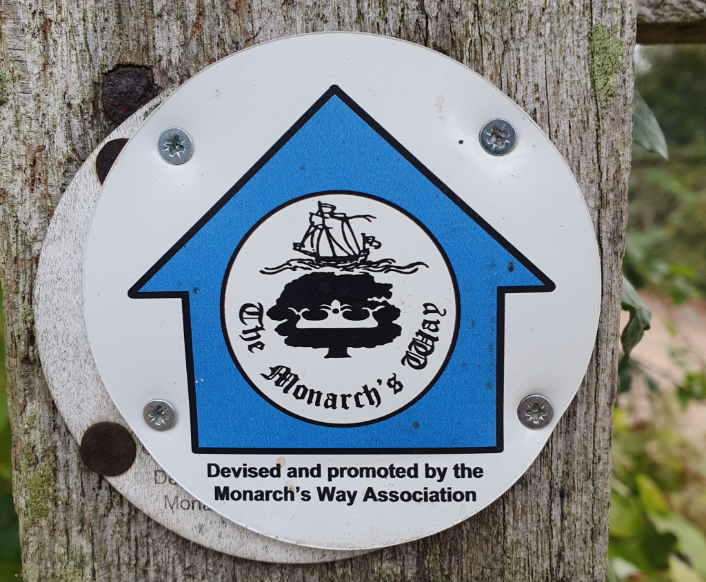
I then pointed to a badge on a small wooden post right behind them which clearly stated Monarch’s Way and as this was a major waymarked trail it would be highlighted by Diamonds along the path on the map as it was a recreational route. Armed with this information they very quickly found the correct path that they were on but were still unsure of their exact location.
So now to help them narrow down their exact location. I asked them to look more closely around the area where we were standing to see if there were any other clues. Eventually, one of the group said that there was a building behind the hedge. Armed with this information we were able to walk to a driveway to a cottage and a name plaque which also appeared on the map! Bingo at last they were all happy and in agreement over their location and able to continue their walk without further arguing.
So why this lengthy discussion to explain about how I helped a group of ‘lost’ walkers and the answer is the same as my parting comment to them. Do not walk around with your head in the map and expect to be able to navigate you need to be able to read the landscape and take in all the clues it offers and transpose that back onto the map.
The Ordnance Survey produce two maps that are the mainstay of all outdoor activities, the 1:50000 Landranger map and the 1:25000 Explorer map. These two maps primarily differ in the level of detail which is why walkers should use the 1:25000 or 25k map. This scale shows all field boundaries and smaller features such as a pond, a copse and small buildings.
With this level of detail it is possible to move from a known point along a path and ‘tick’ off the passing landmarks such as field boundaries, wood edges that abut the path or simple buildings en-route.
Use the map to look ahead 0.5 mile or 1 km and note what features you would expect to pass. Look out for these in the landscape as you walk and mentally tick them off or move your thumb to that point of the map and keep it there. This will not only help you navigate but also make you more aware of what is going on around you.
There are usually plenty of clues in the landscape like the ones demonstrated to the group – the position of the sun coupled with the time of day, trail markers or finger boards and buildings with names. All of these, when used together will improve your navigation and make your walk more pleasurable.
Oh, and the 4th clue – literally 20m ahead of where they were arguing was a 5 way crossing of paths, one coming in from the north in a N-S direction, one coming from the north-east in a NE-SW direction (their two paths). One arriving from the east in an E-W direction (Monarch’s Way) plus two paths leaving, one to the west and one to the south. This was the only 5-way crossing on their map so a perfect fix point.
Remember, navigation is not just about reading maps but reading the landscape as well. After all, a map is just a facsimile of the landscape.
Note: Using the sun in this example is only valid in the Northern Hemisphere. In the Southern Hemisphere, the sun will be to the north. And if you are on the Equator – what the hell are you doing walking in this heat unless you are a ‘mad dog or an Englishman (sic)’ (Noel Coward).